UN
42a Green Lanes
£ 180,000
Description
We don't have a Description for this property.
- Bedrooms
- 3
- Bathrooms
- 0
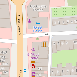
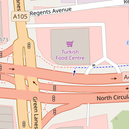

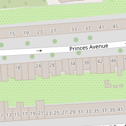
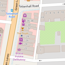

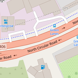


Leaflet © OpenStreetMap contributors
The heatmap indicates the level of crime in the area. The color of the heatmap indicates the crime severity and recency.
Metrics Year-on-Year
- Average area value
- 590,904.00 £Increased by 11.47 %
- Average area rental value
- 1,579.00 £/moDecreased by 19.93 %
- Est rental Yield
- 3.21 %Decreased by 28.03 %
- Crime Rate
- 9.00 %Unchanged by 0.00 %
from 530,125.00 £
from 1,972.00 £/mo
from 4.46 %
from 9.00 %
Nearby Schools
| Name | Type | Ofsted | Distance |
|---|---|---|---|
| Tottenhall Children'S Centre | Children's Centre | 0.16 KM | |
| Tottenhall Infant School | Community School | Requires improvement | 0.37 KM |
| St Michael At Bowes Cofe Junior School | Voluntary Aided School | Good | 0.44 KM |
| The Tab Children'S Centre | Children's Centre Linked Site | 0.48 KM | |
| St Anne'S Catholic High School For Girls | Voluntary Aided School | Outstanding | 0.57 KM |
Images
Nearby Streets
| Name | Average Price | Average Sqft | Distance |
|---|---|---|---|
| North Circular Road | £ 525,000 | 0 | 0.00 KM |
| Fairbrook Road | £ 575,000 | 0 | 0.00 KM |
| Bridge Drive | £ 0 | 0 | 0.00 KM |
| The Triangle | £ 0 | 0 | 0.00 KM |
| Broomfield Avenue | £ 1,150,000 | 0 | 0.00 KM |
Nearby Transport
| Name | NLC | TLC | Distance |
|---|---|---|---|
| Palmers Green | 6021 | PAL | 0.79 KM |
| Bowes Park | 6027 | BOP | 1.35 KM |
| Alexandra Palace | 6025 | AAP | 1.93 KM |
| Winchmore Hill | 6024 | WIH | 2.68 KM |
| Hornsey | 6015 | HRN | 2.79 KM |
Nearby Listings
| Address | Price | Type | Score | Distance |
|---|---|---|---|---|
| Green Lanes, London | £ 325,000 | BUY | 7 / 10 | 0.01 KM |
| Green Lanes, London | £ 280,000 | BUY | 6 / 10 | 0.04 KM |
| Melbourne Avenue, London | £ 700,000 | BUY | Unknown | 0.16 KM |
| Princes Avenue, London, N13 | £ 635,000 | BUY | Unknown | 0.17 KM |
| London, N13 6JP | £ 485,000 | BUY | 5 / 10 | 0.17 KM |
Nearby Properties
| Address | Price | Distance |
|---|---|---|
| 42a Green Lanes | £ 180,000 | 0.00 KM |
| 46a Green Lanes | £ 300,000 | 0.00 KM |
| 48a Green Lanes | £ 6,000 | 0.02 KM |
| 50 Green Lanes | £ 130,000 | 0.02 KM |
| 54 Tottenhall Road | £ 65,000 | 0.15 KM |